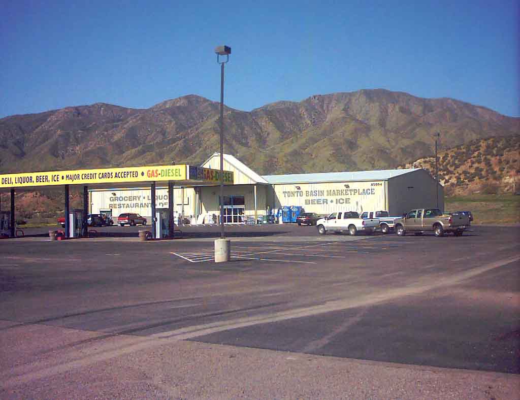
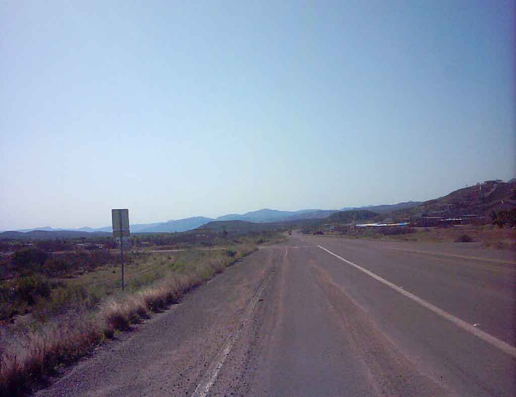
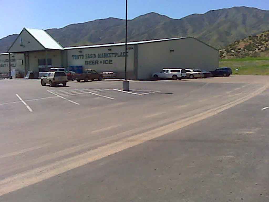
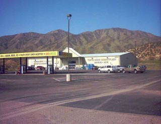
 This is my starting point - the Tonto Basin
Market. I'm parked behind the brown truck
This is my starting point - the Tonto Basin
Market.  I'm parked behind the brown truck
|
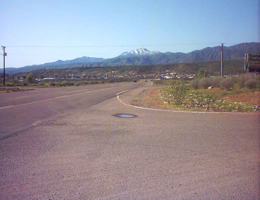
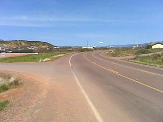
 At the Market, looking south - toward
the lake
At the Market, looking south - toward
the lake
|
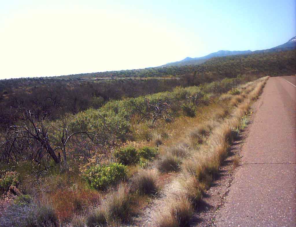
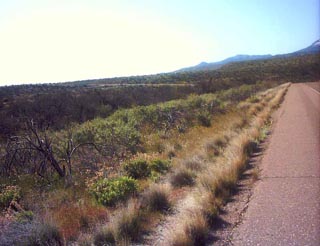
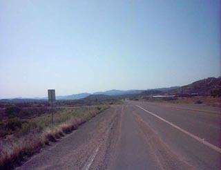 Off and running, left side of the
road. Tonto Basin is a very open community
Off and running, left side of the
road.  Tonto Basin is a very open community
|
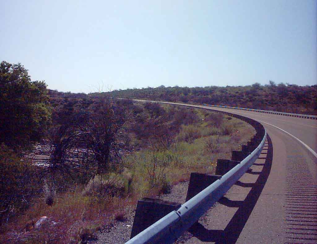
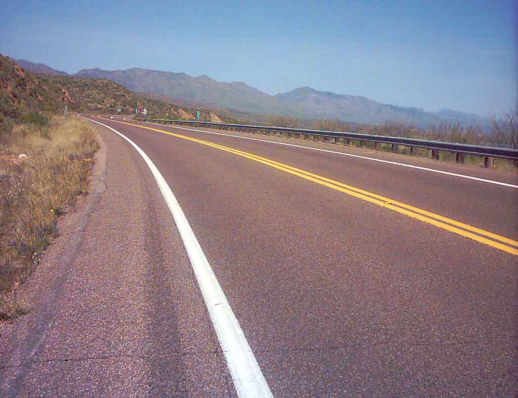
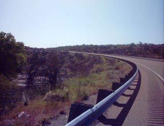
 This is the BIG hill at mile 3.5, up hill for
at least half a mile
This is the BIG hill at mile 3.5, up hill for
at least half a mile
|
 Halfway up the hill, crossing the river
|
 Looking left at the half way point up
the hill at the river which always flows
Looking left at the half way point up
the hill at the river which always flows
|
 Now at the top of the hill,
its level for a while
Now at the top of the hill,
 its level for a while
|
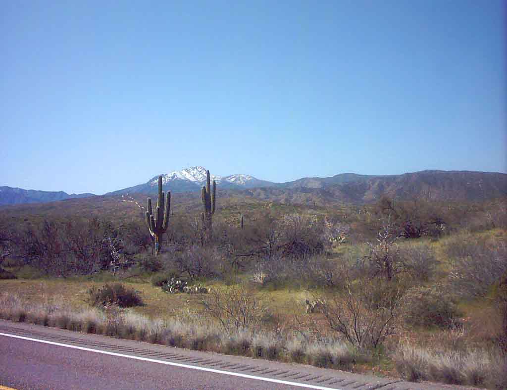
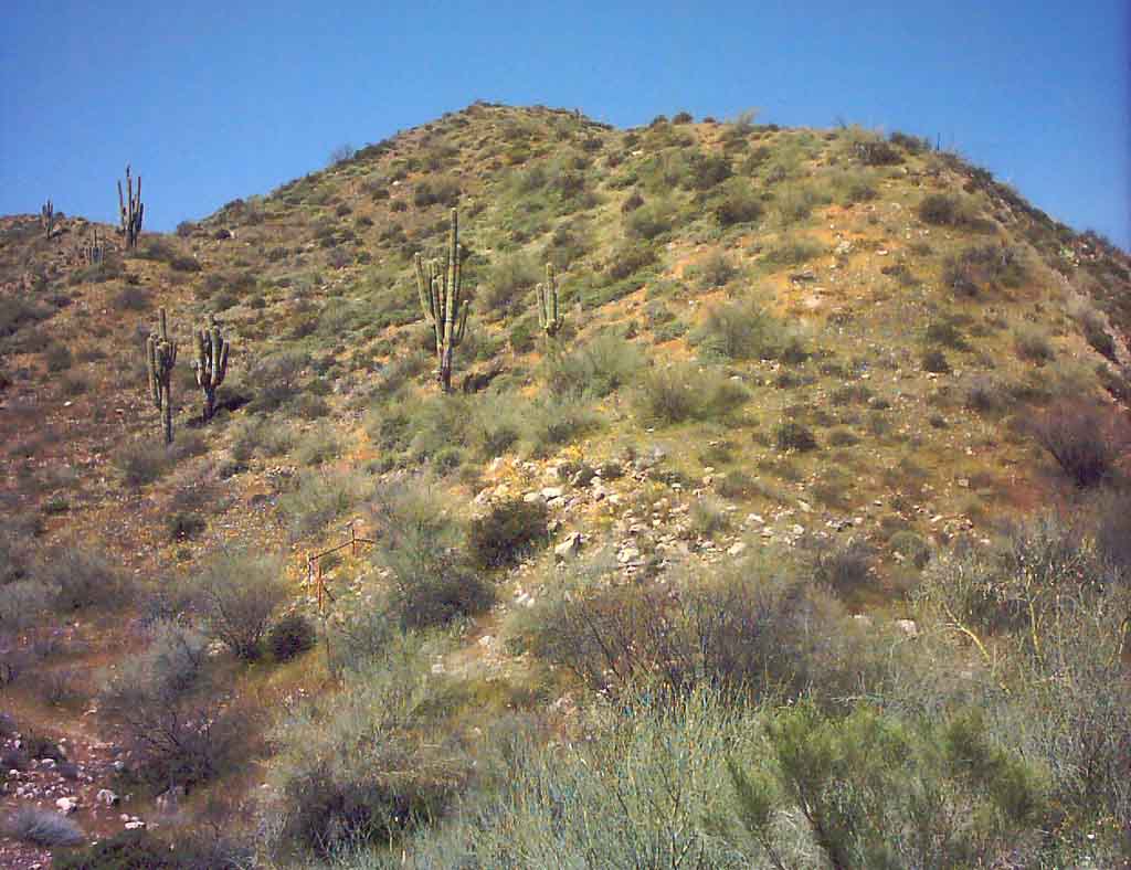
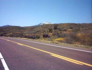
 The snow on 4 Peaks Mountain behind two
Saguaro cactuses
The snow on 4 Peaks Mountain behind two
Saguaro cactuses
|
 This is what I came for - a rich yellow
bloom under a Saguaro!
This is what I came for - a rich yellow
bloom under a Saguaro!
|
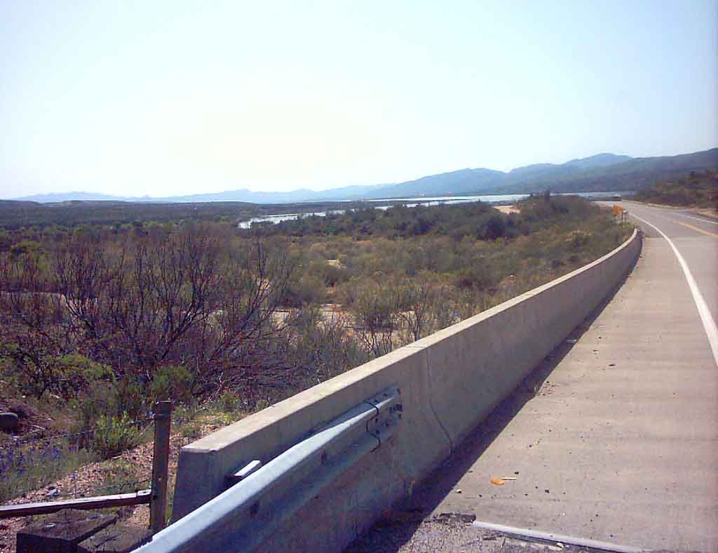
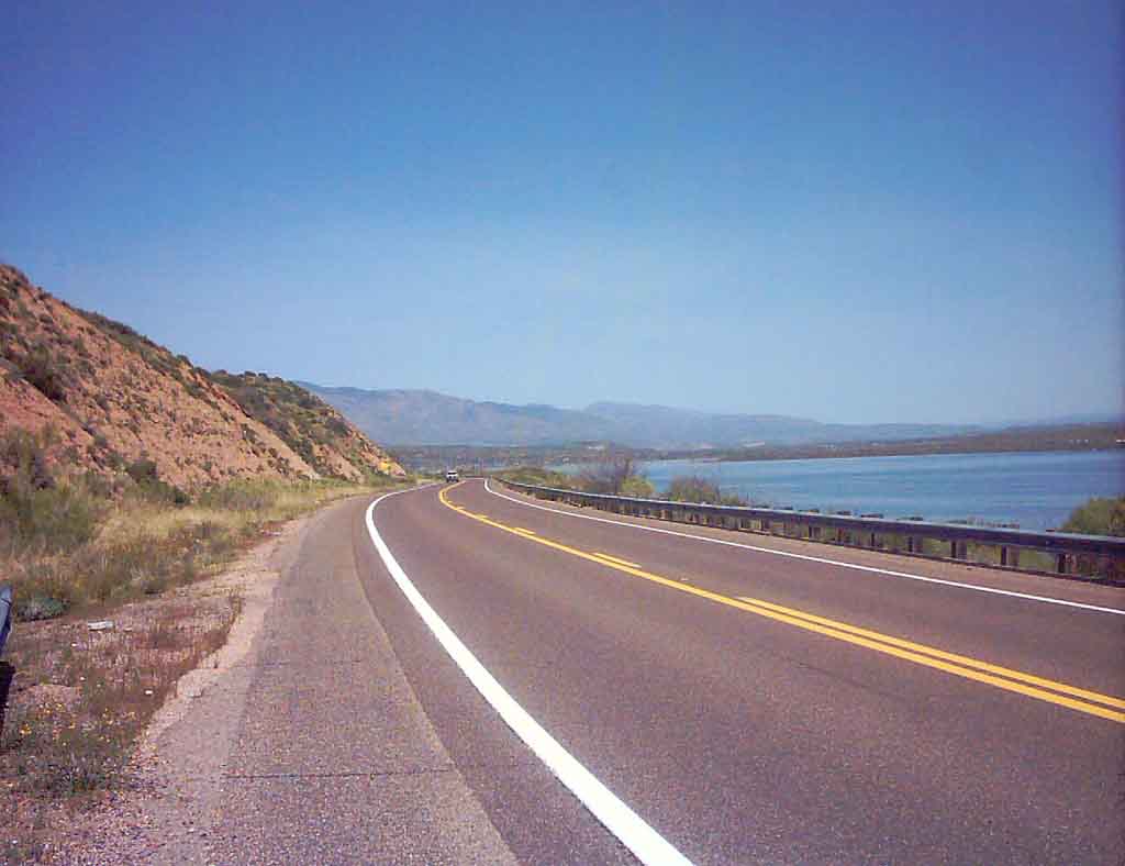
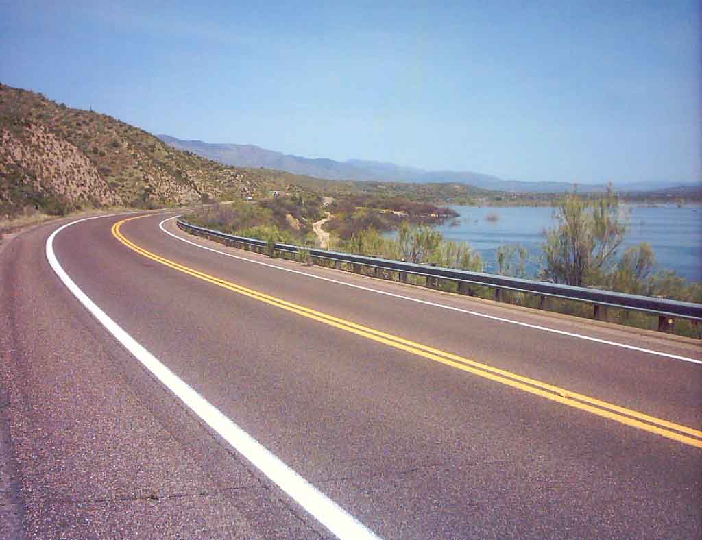
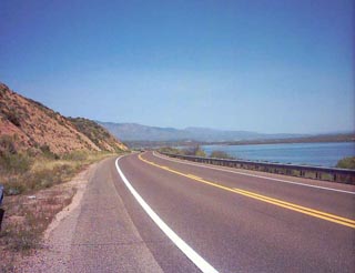
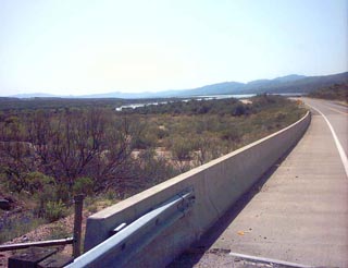 The bridge, the first view in the distance
of Roosevelt Lake
The bridge, the first view in the distance
of Roosevelt Lake
|
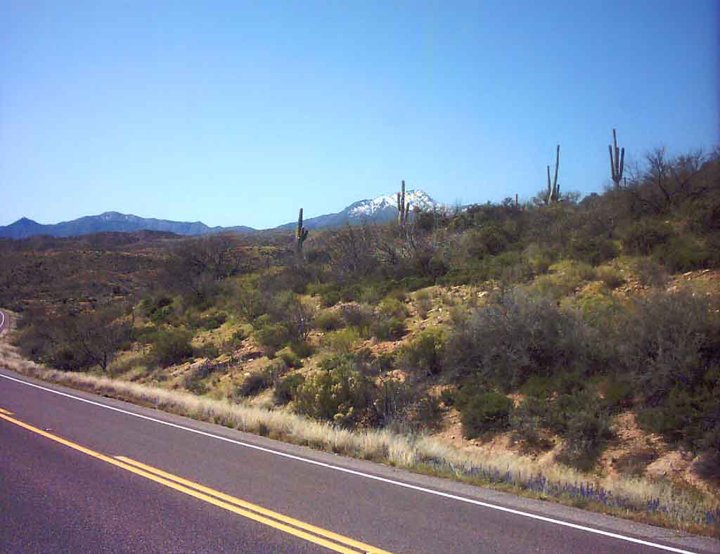
 Saguaros in front of the snowy peaks
|
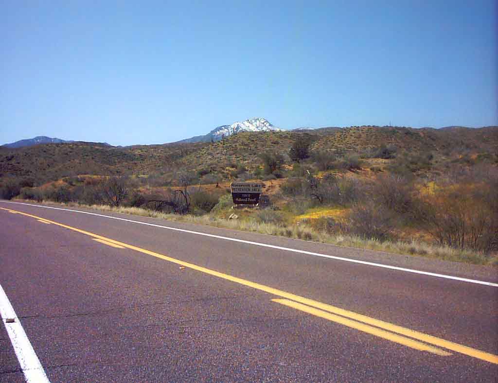
 The Lake boundary sign
|
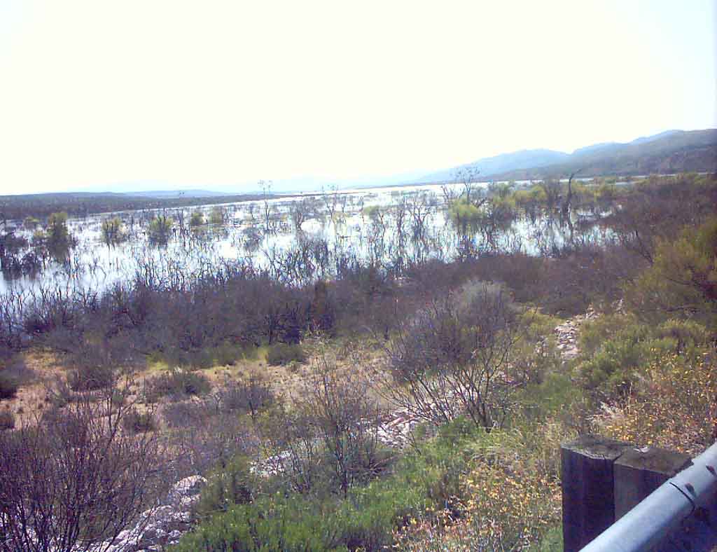
 This area at the shallow side of the
lake is a rich area for water birds,
many are nesting now.
This area at the shallow side of the
lake is a rich area for water birds,
many are nesting now.
|
 Along the swampy shallows
|
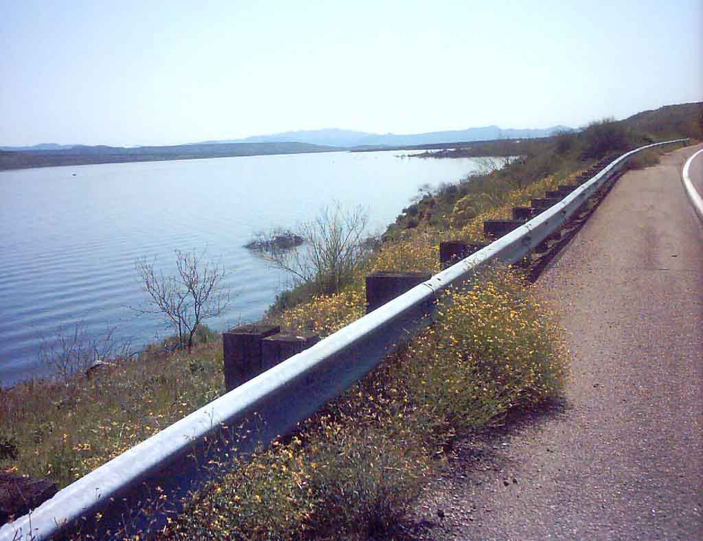
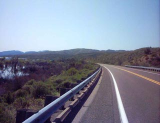
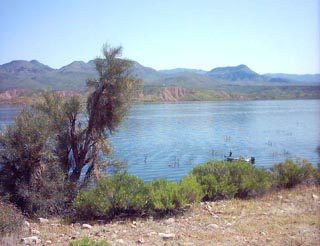
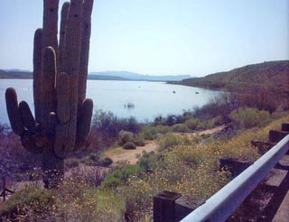 The first view of open water - some
fishing boats are seen here
The first view of open water - some
fishing boats are seen here
|
 The yellow flowers along the roadway
increase as I go downhill to lower
elevations.
The yellow flowers along the roadway
increase as I go downhill to lower
elevations.
|
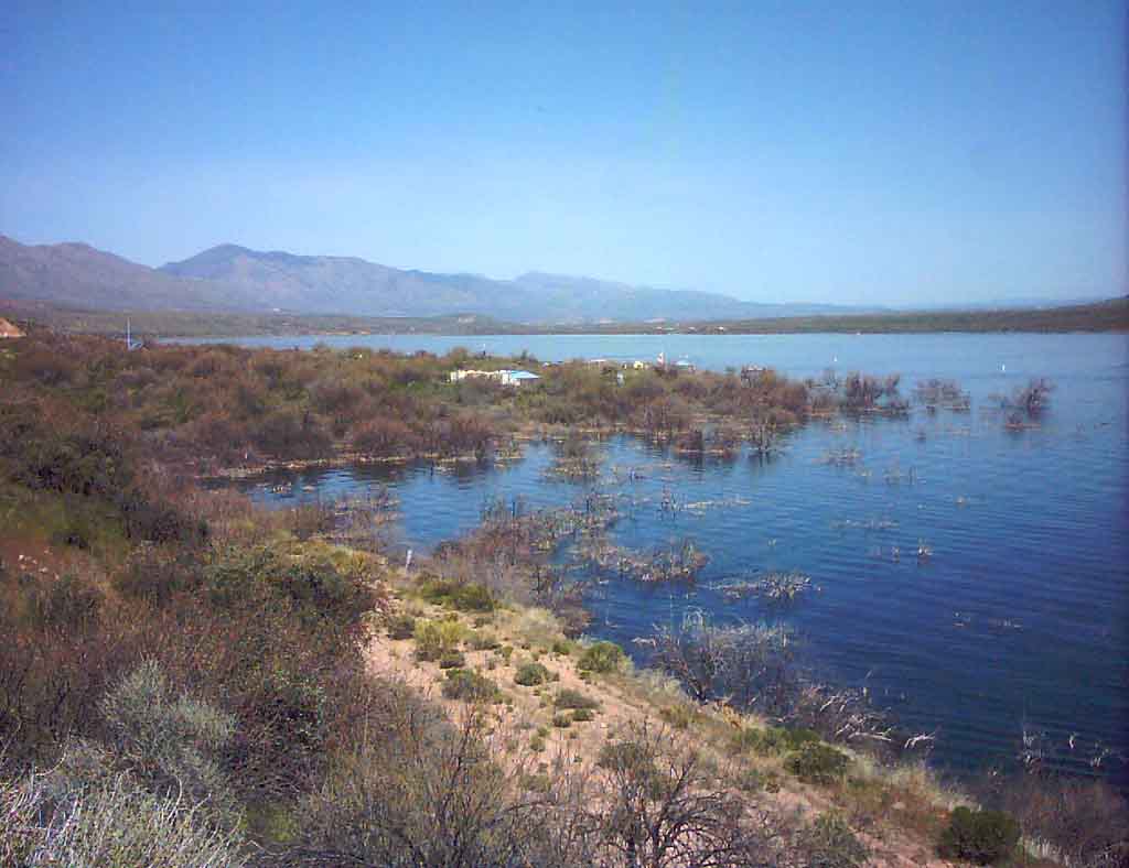
 At the 10 mile turn around point. Looking
back the way I came along the shore
At the 10 mile turn around point.  Looking
back the way I came along the shore
|
 Fishing boat at the 10 mile point
|
 And now - Up hill all the way to the Market
|
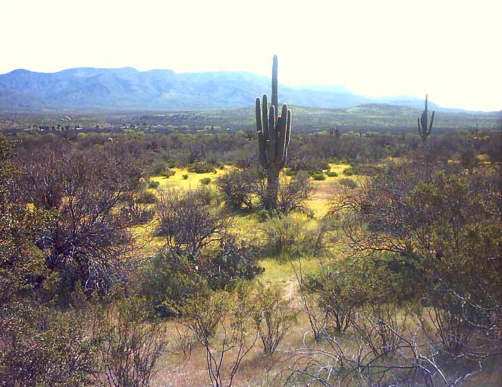
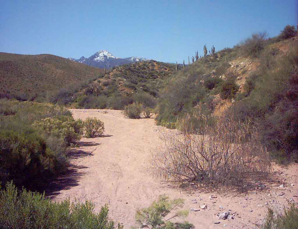
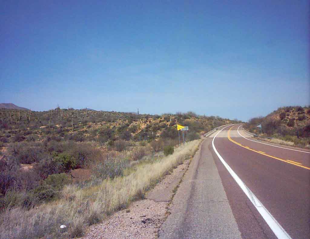
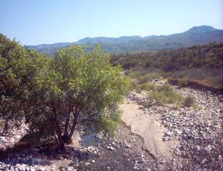
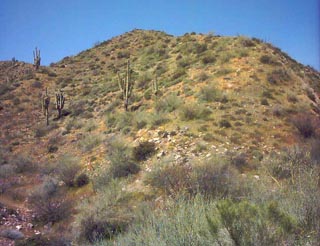
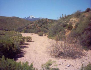 A desert wash looking toward 4 peaks
|
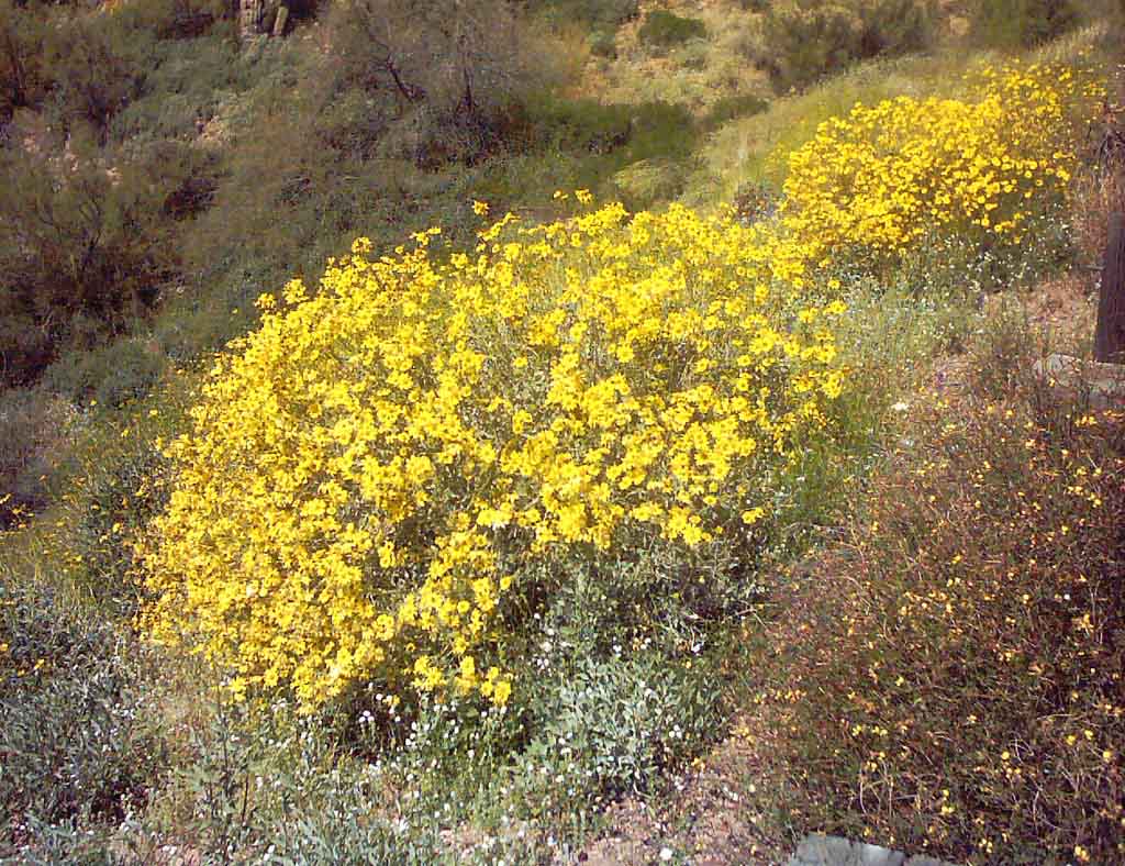
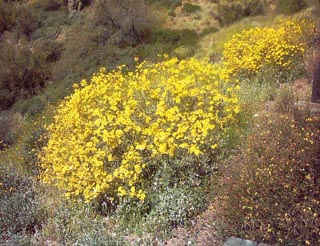 Massive yellow flowers in bloom.
|
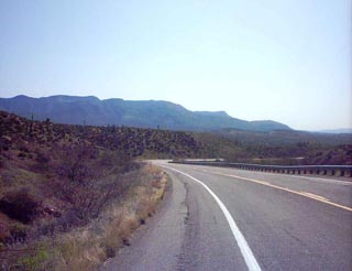
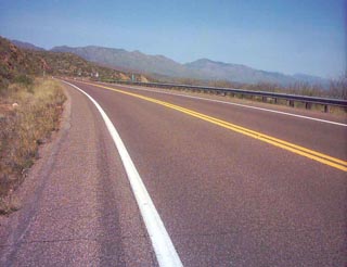
 The long up hill trek
|
 This hill side is yellow from flowers
|
 Heading back toward the swampy area
|
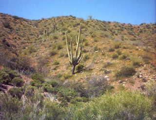 This was a cool Saguaro along the route
|
 The reds from Indian Paintbrush flowers
along a road cut
The reds from Indian Paintbrush flowers
along a road cut
|
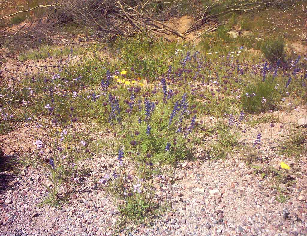
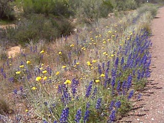
 Purple Lupines, and yellow flowers
|
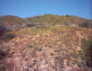 This hill is a multicolor rainbow of flowers!
|
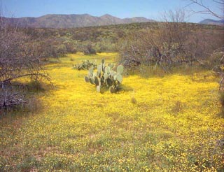 This was a totally cool scene, a sea of yellow
tiny flowers with a prickly pear cactus
This was a totally cool scene, a sea of yellow
tiny flowers with a prickly pear cactus
|
 The other side of the Tonto Challenge Hill.
(Thats what I call it anyway)
The other side of the Tonto Challenge Hill.
(Thats what I call it anyway)
|
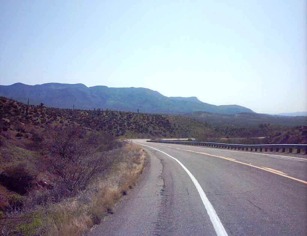
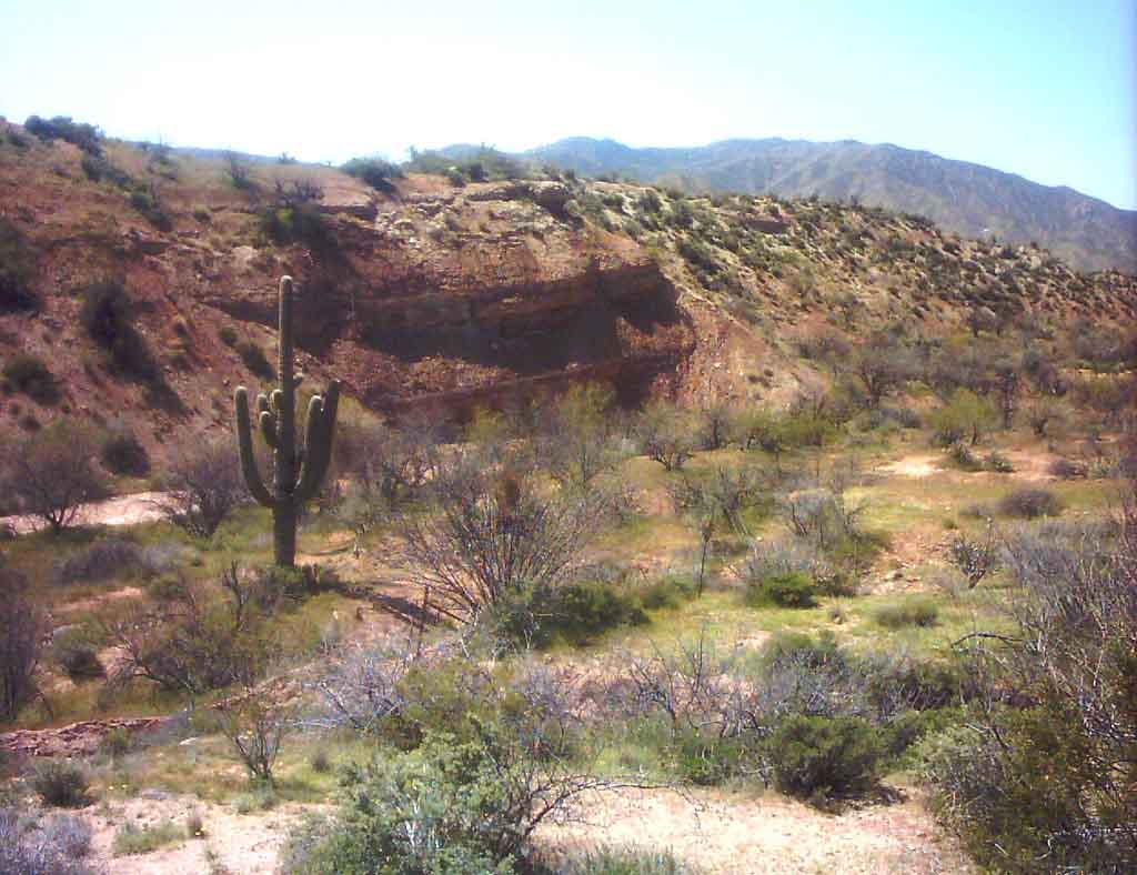
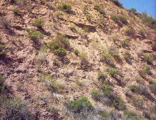
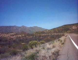
 At the top of the hill again, looking over
some fantastic geology in the Payson Basin
formation.
At the top of the hill again, looking over
some fantastic geology in the Payson Basin
formation.
|
 Coming down the long hill, left side, tons
of Lupines!
Coming down the long hill, left side, tons
of Lupines!
|
 Finally, up ahead about half a mile is the
Tonto Market. I'm feeling GREAT at this
point, about 19.5 miles.
Finally, up ahead about half a mile is the
Tonto Market.  I'm feeling GREAT at this
point, about 19.5 miles.
|
 I'm BACK. Oh man, what a run!
|
|
|
| |
|
|