 North Rim of the Grand Canyon
10/2/2016 Rim to Rim Adventure
Uploaded 12/20/16
| Here are some of the scenic shots I took mostly in the area of the North Rim of the Grand Canyon, and on the road extending eastward to Page. No inner canyon shots here - just fall colors, rock formations, and scenic views. Ive allready posted some time back the actual run photos crossing the canyon in the Running section. As you can see, just because I finished the 25 mile run across the Grand Canyon, doesnt mean we stop being active. Lots of hiking (short ones!), walking through the golden aspen woods, and driving through northern Arizonas amazing geology is what we did next. |
|
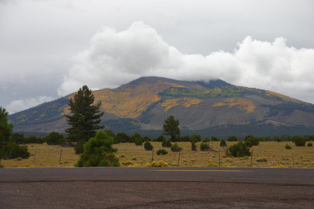
Photo Pictorial Passing Flagstaff on the way up to the South Rim, here we got our first taste of fall colors on Humphries Peak. The top in the clouds is 12,600 above sea level.
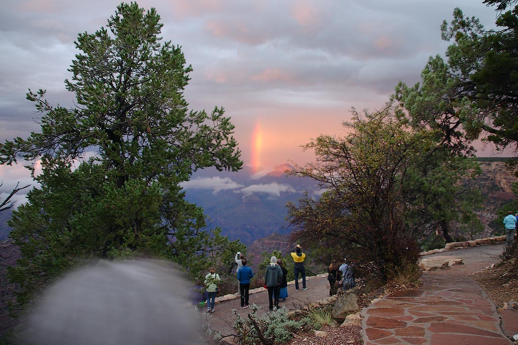
On the south rim of the Grand Canyon, the night before I went across. The rain was so hard that day and when the sun came out at sunset, we had a bright fragment of a rainbow in the canyon.
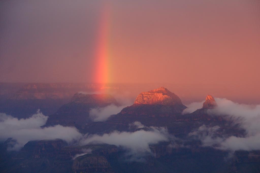
Close up with the 200mm lens
Final shot. The trail was a mess, full of mud, rocks and washouts. Made for slow going the next morning!
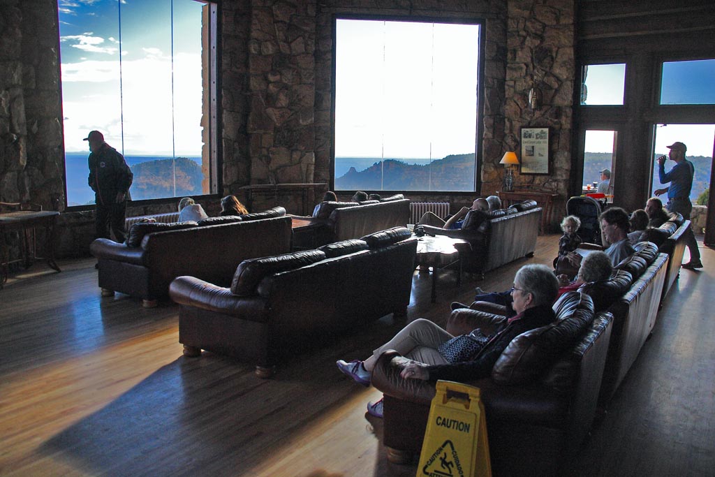
The next day, after I traveled across. This is inside the North Rim Lodge. Everyone is looking out the picture windows at the scenery.
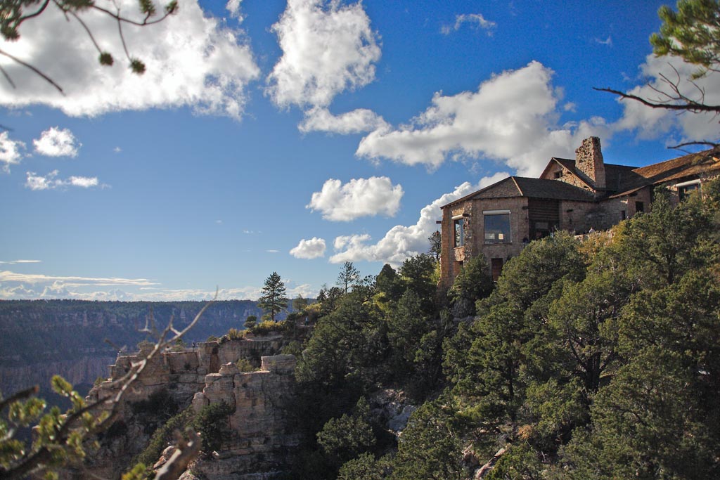
View of the North Rim Lodge from a side trail. You can see it overlooks the canyon because it is built right on the edge.
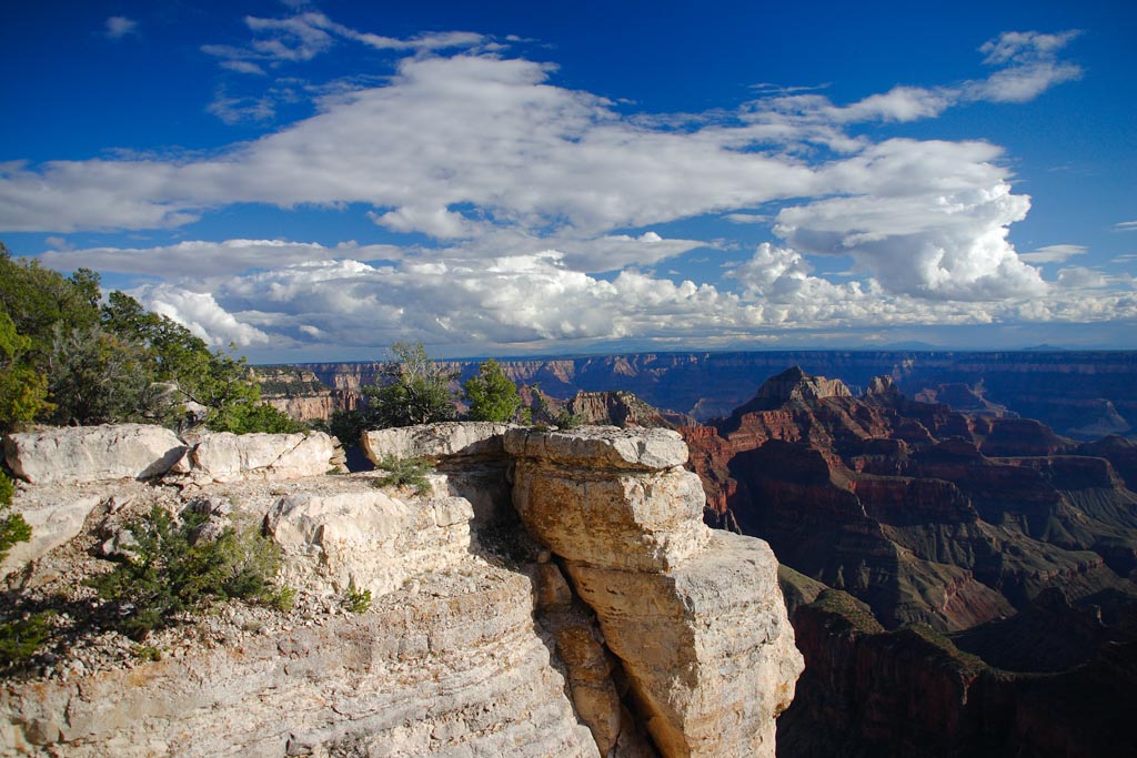
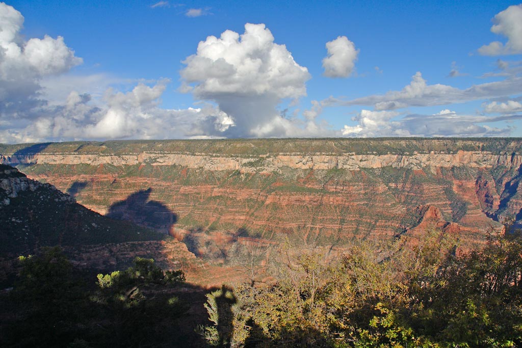
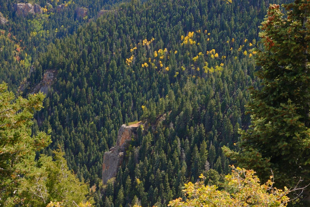
Hiking on a trail east of the lodge, that we took the above photo, you can look into the canyon and see the top most layers the next day when the air started to clear of moisture.
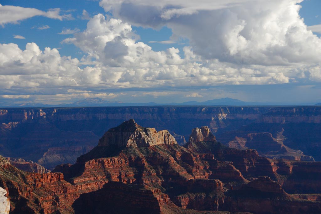
Same trail, about a half a mile from the Lodge. The sun came out, and we had beautiful shots for the rest of the day!
Continuing down the trail another quarter mile, you can look back and see the side canyon that branches off the north Kaibab trail that takes you to the top.
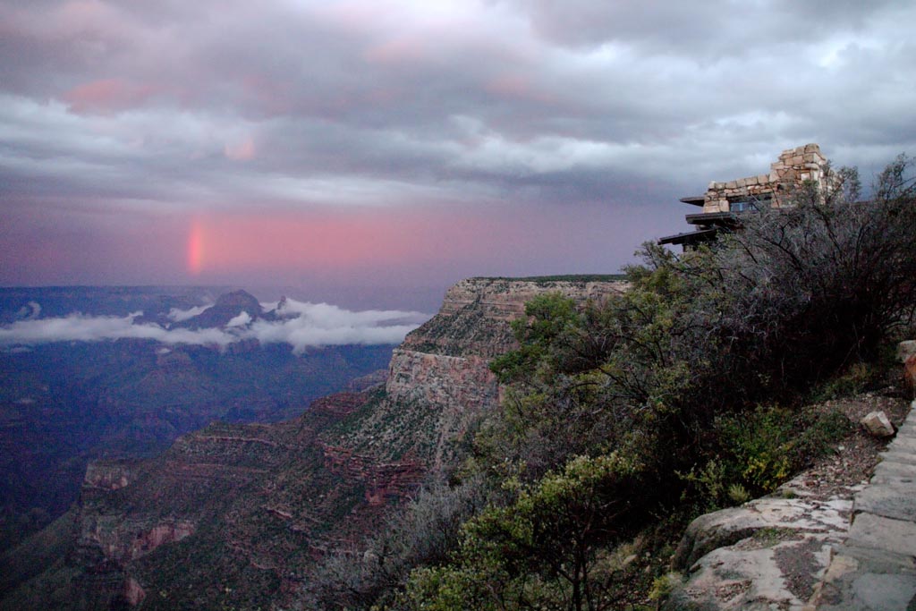
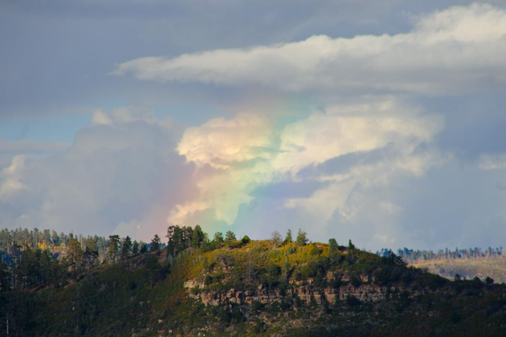
Look carefully, and you can see the faint tint of a rainbow here from the same location.
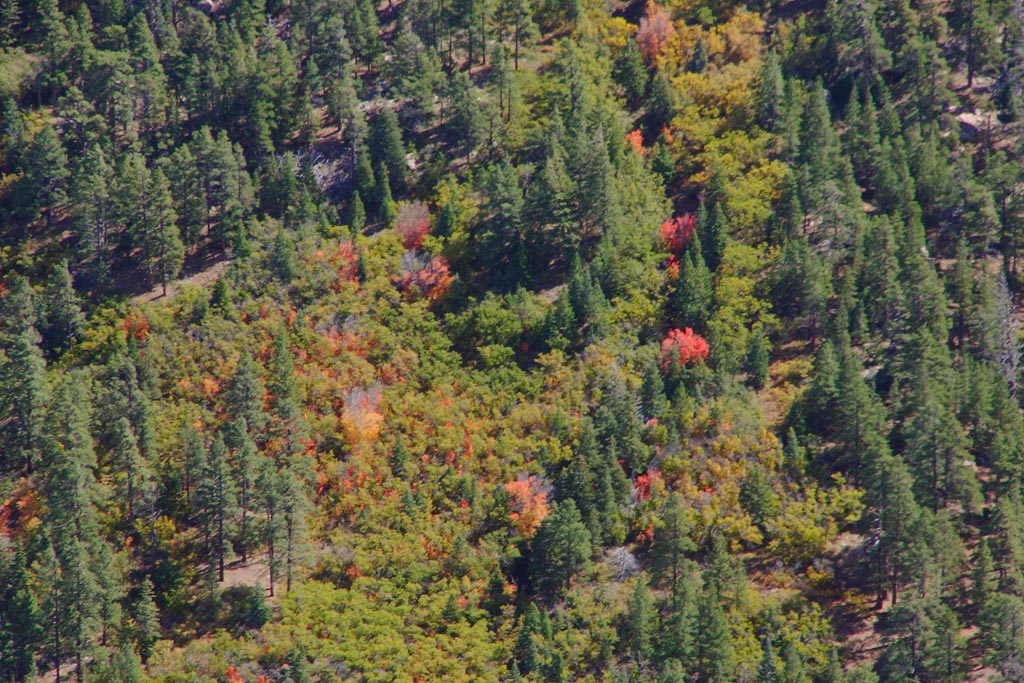
Those red patches on the far rim are big patches of blood red maple trees turning thier fall colors.
Driving around well East of the Canyon enterance, we found this back road site, where we collected many very nice fossils. Ive posted many shots of what we found here on our Paleo site.
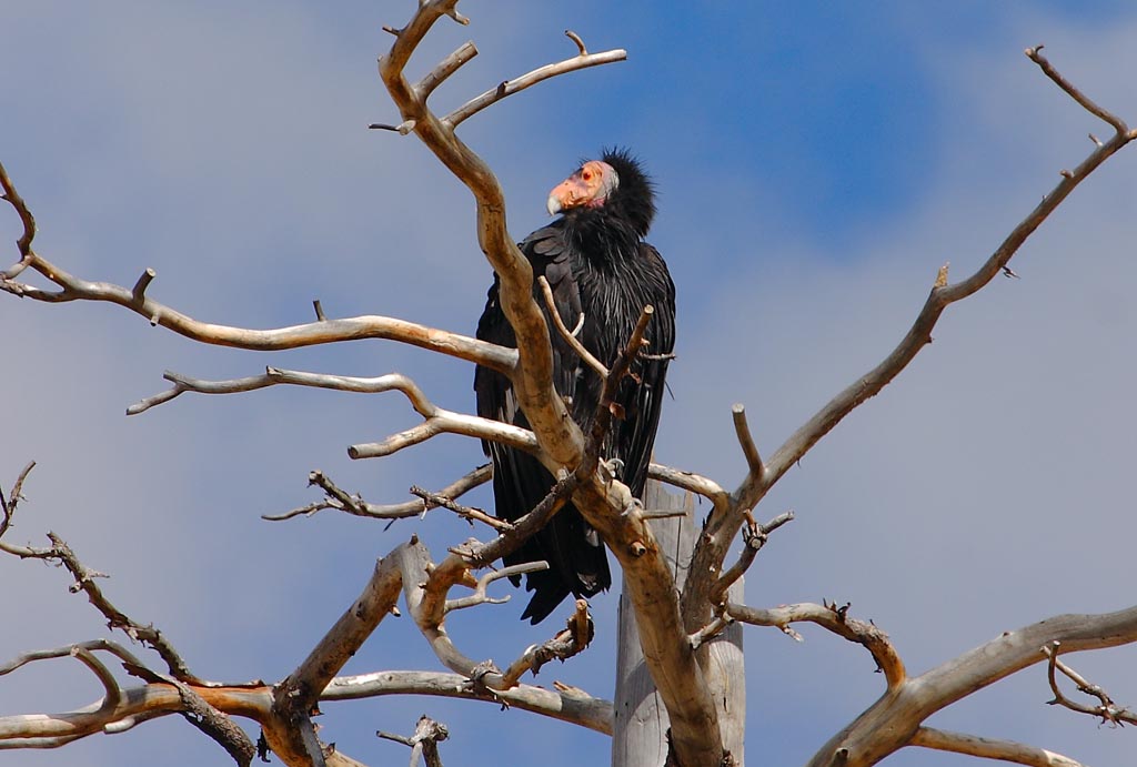
On the way back out from that site, there was an old tree with a huge 4 foot tall California Condor sitting in it. This is with the 400mm Canon lens.
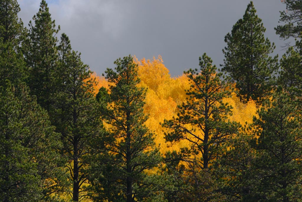
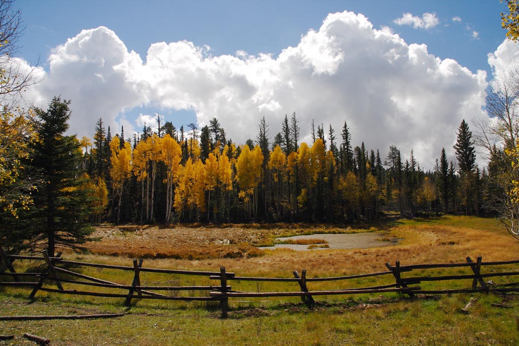
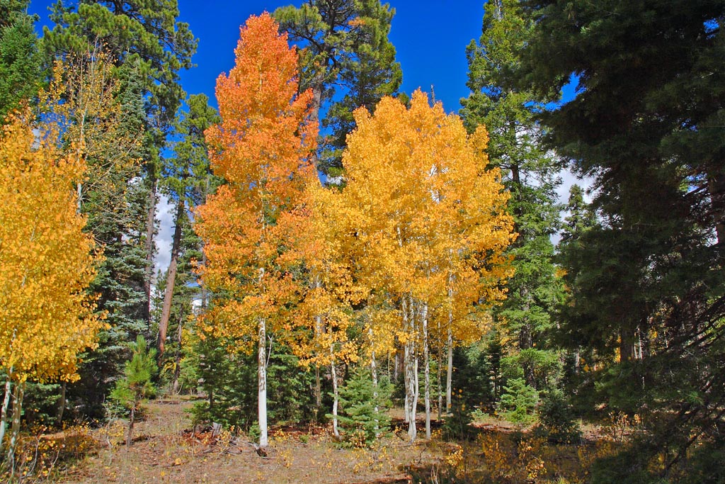
Continuing our drive east, about 10 miles from the Canyon enterance, we find the golden changing aspesn amidst the dark green tall pines.
This combines the layers of colored forest with a foreground of white limestone in ledges. No fossils were found here, but there was a nice blue bird.
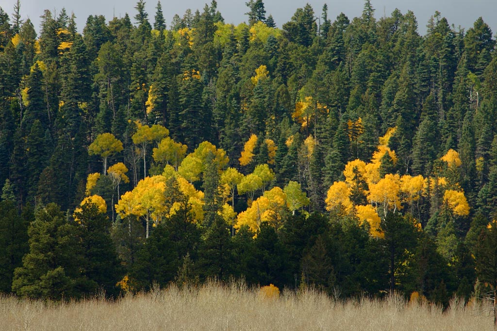
More fall colors. The aspens change for only a few weeks then the leaves falll off. This happens in early October every year, and that is why we do the Canyon run at this time.
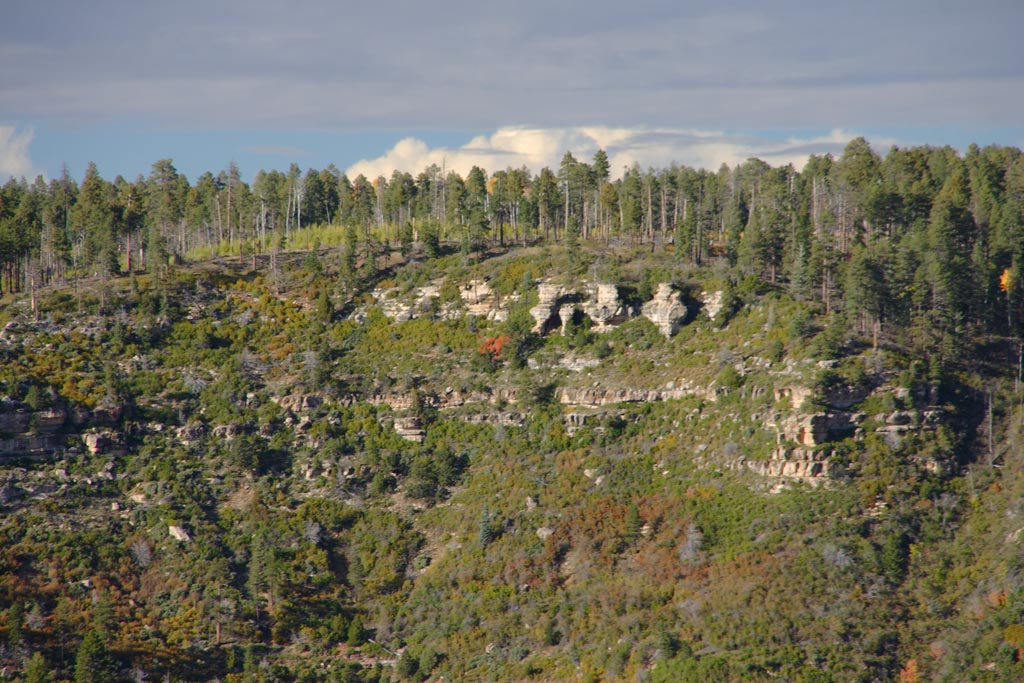
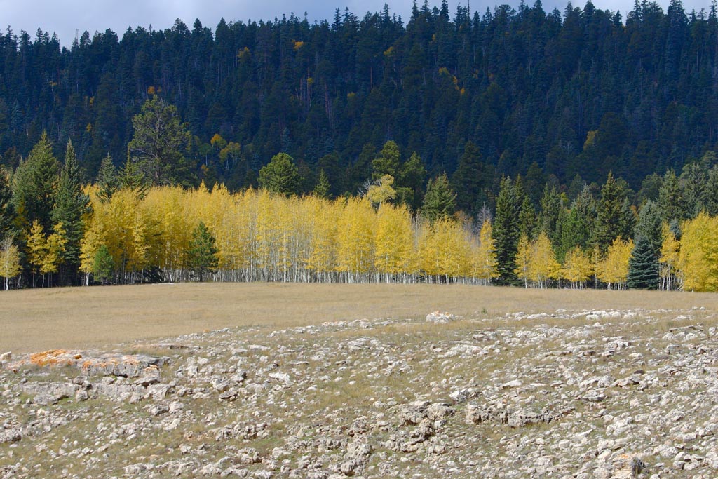
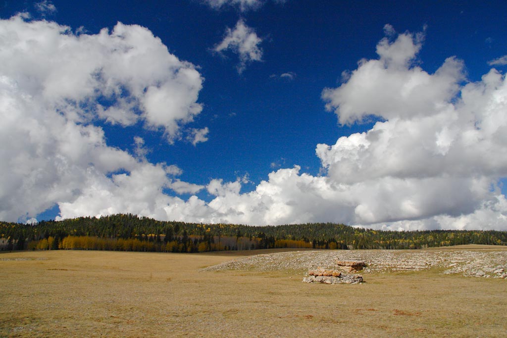
Magnificent outcrop of Kaibab limestones with layered forests in full color behind.
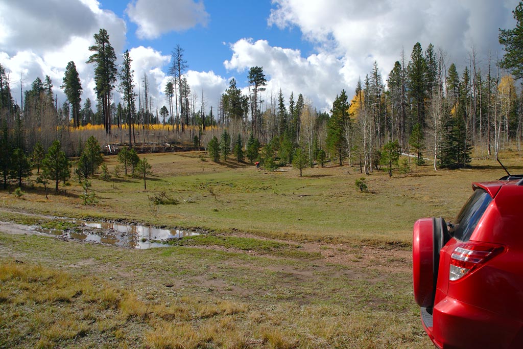
At about 20 miles out, we usually stop here every year to see what animals and water birds we can find at this pond.
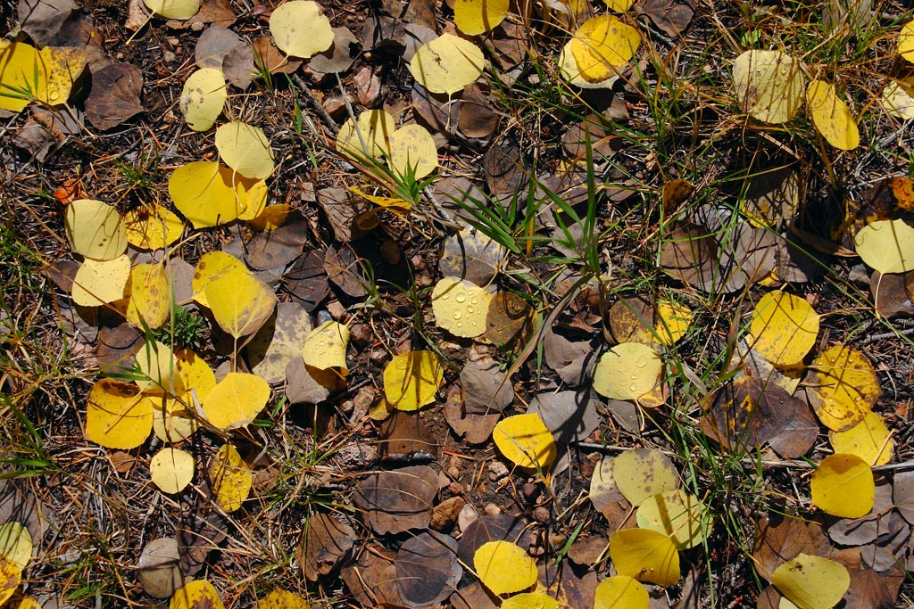
On another side road, we find the golden aspens leaves first thing in the morning with dew drops still on them.
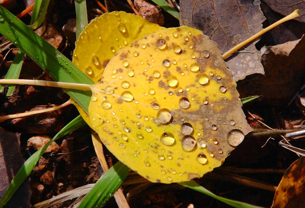
The close up of the dew drops form tiny lenses on the leaves.
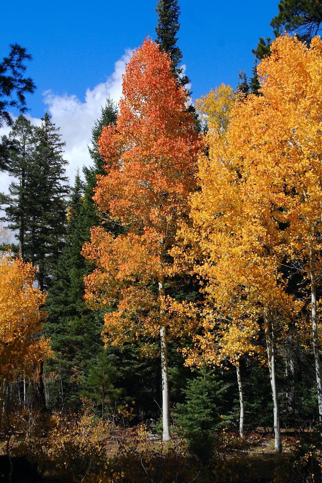
Occasionally, we find an aspen that is orange in color. Here is one rare example. It is one in a million!
Strongly colored aspens.
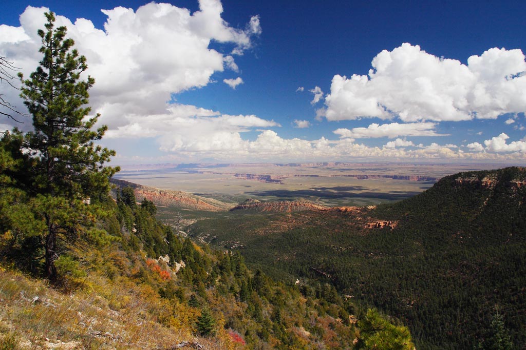
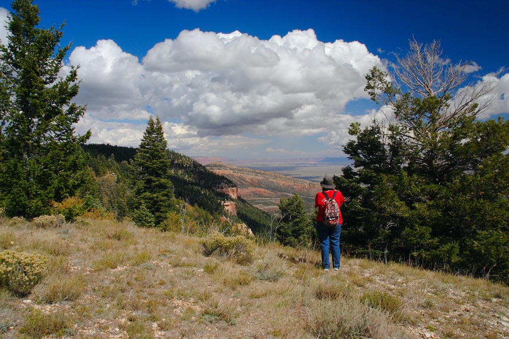
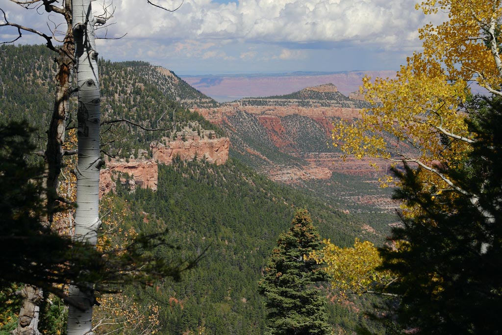
A nice hike down a side canyon leads us to a very seldom seen vista of more amazing geology not seen nearly this closely from the main Park.
Close up of maples from the same spot. These trees are full size and give you a sense of scale.
Distant aspens inside the side canyon from the hiking trail.
Dawn shoots the awesome vista with her camera too!
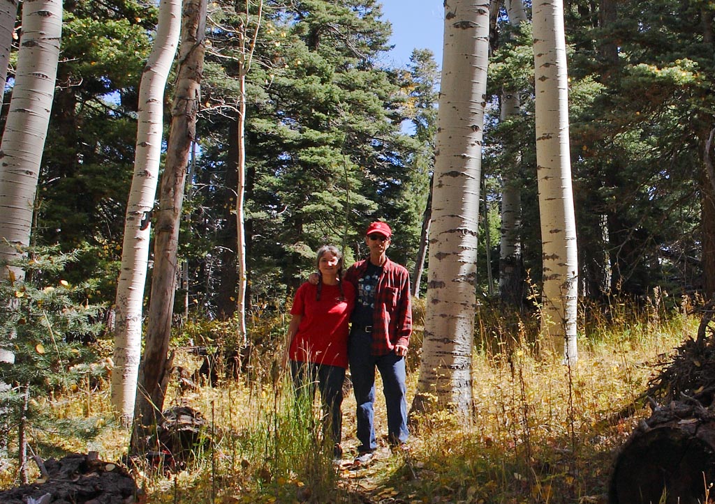
Another trail, we find a nice stand of aspens for a portrait.
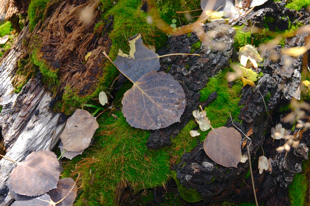
And more leaves with dew drops in that same forest. But now with moss.
Along the same trail, a select few have seen this canyon vista.
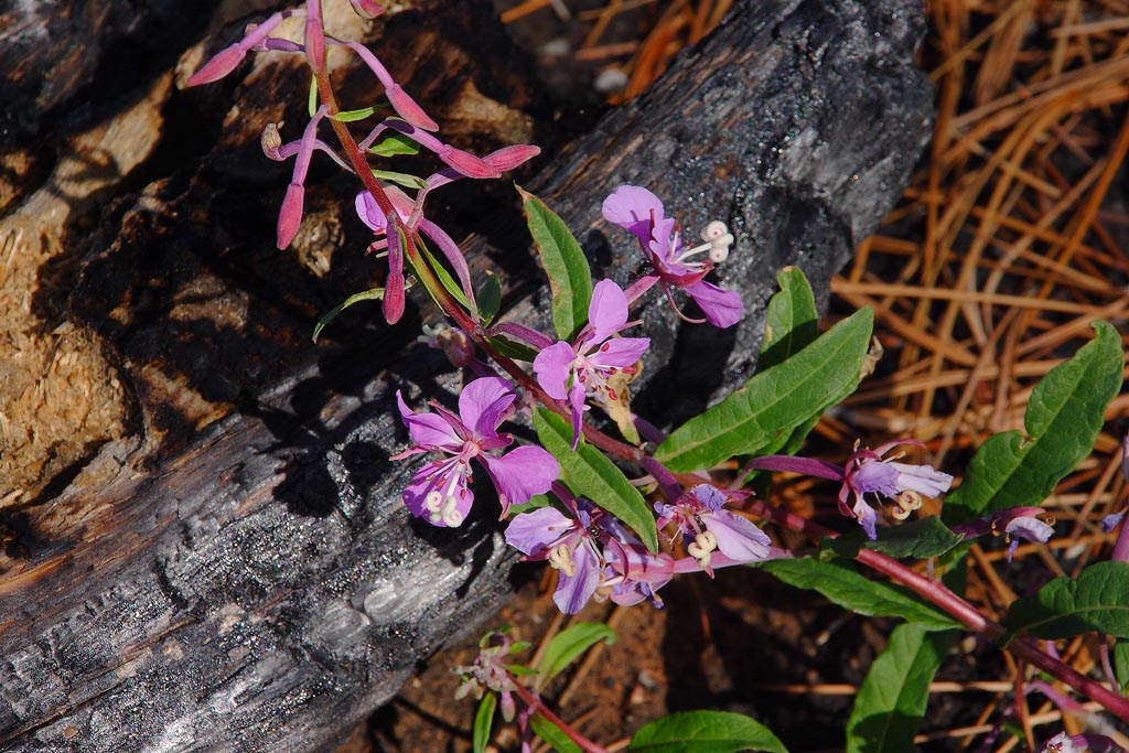
Upon leaving, we found a burned area with a very rare purple fire bush growing.
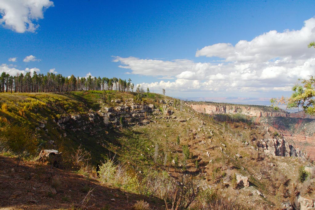
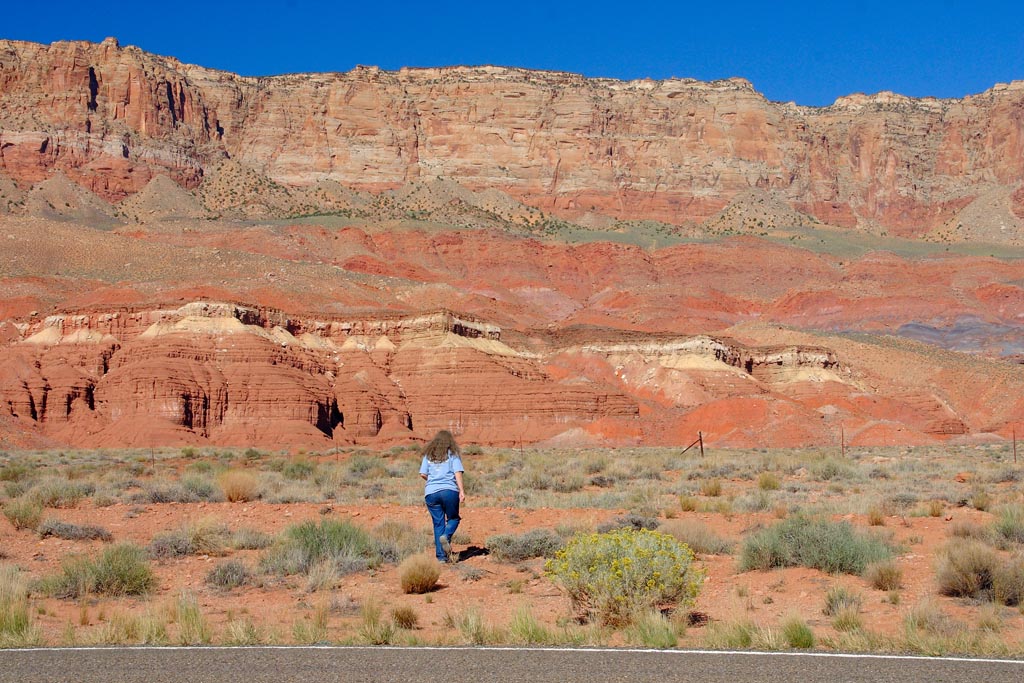
Down the road, the views are spectacular. And we are NOT in the park.
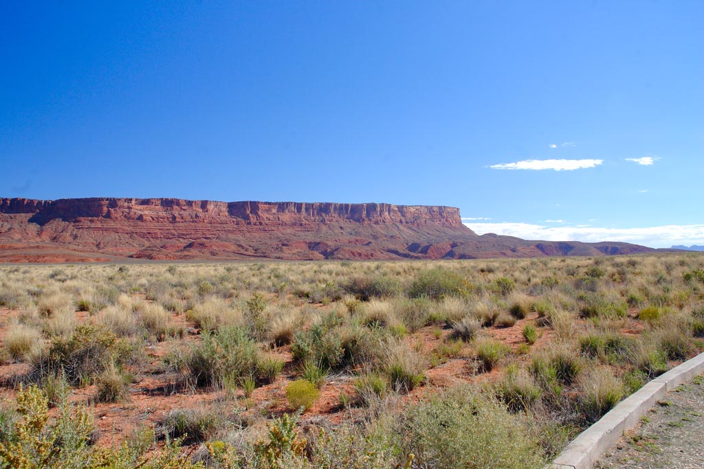
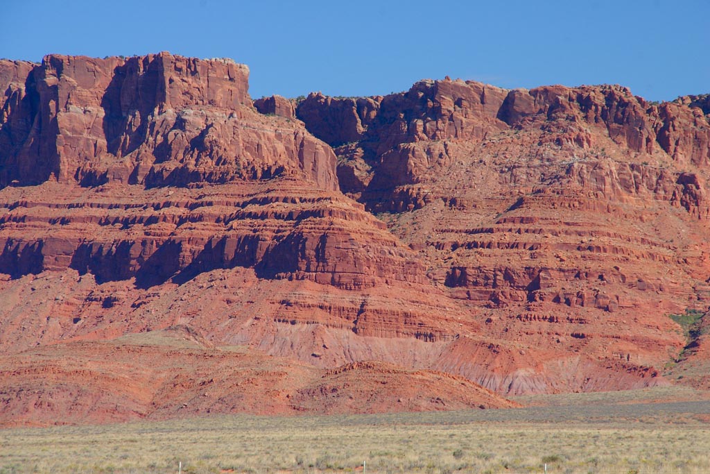
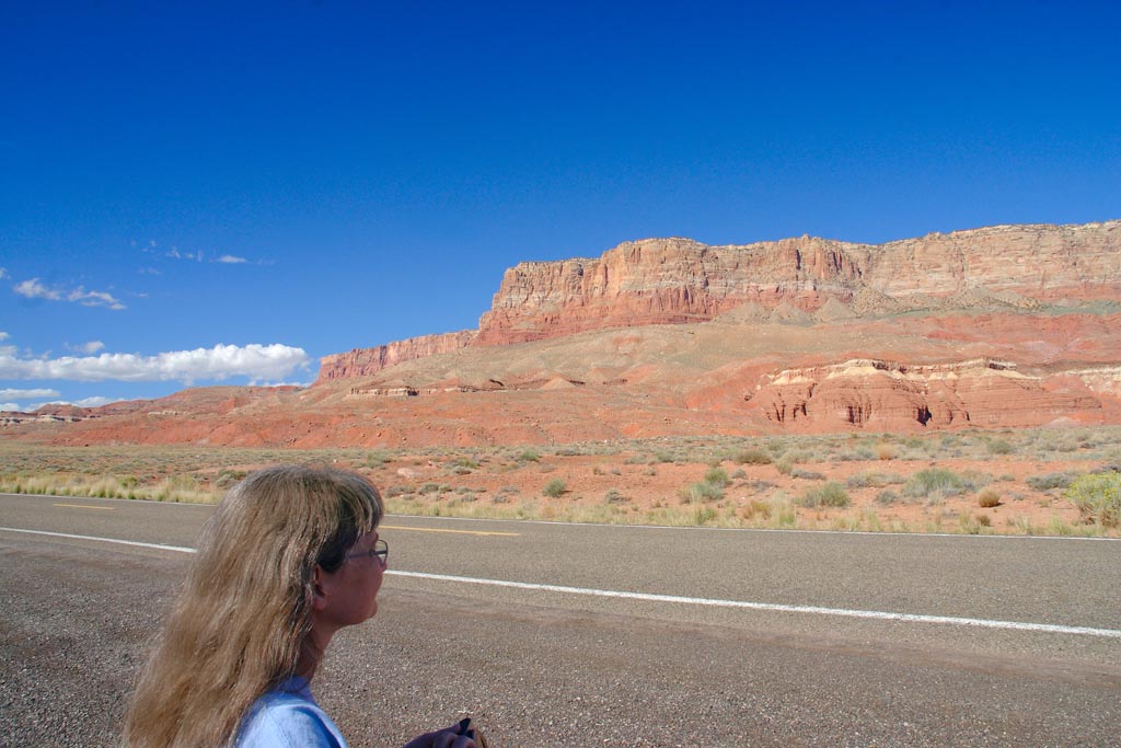
Finally, the next days it is time to leave for home. The Vermillon Cliffs are spectacular Jurrassic formations on the way to Marble Canyon.
So we decieded to pull off and take a good number of close ups of the Navajo sandstones and cliffs.
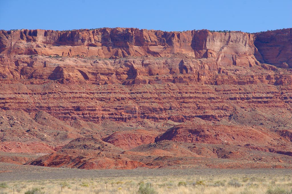
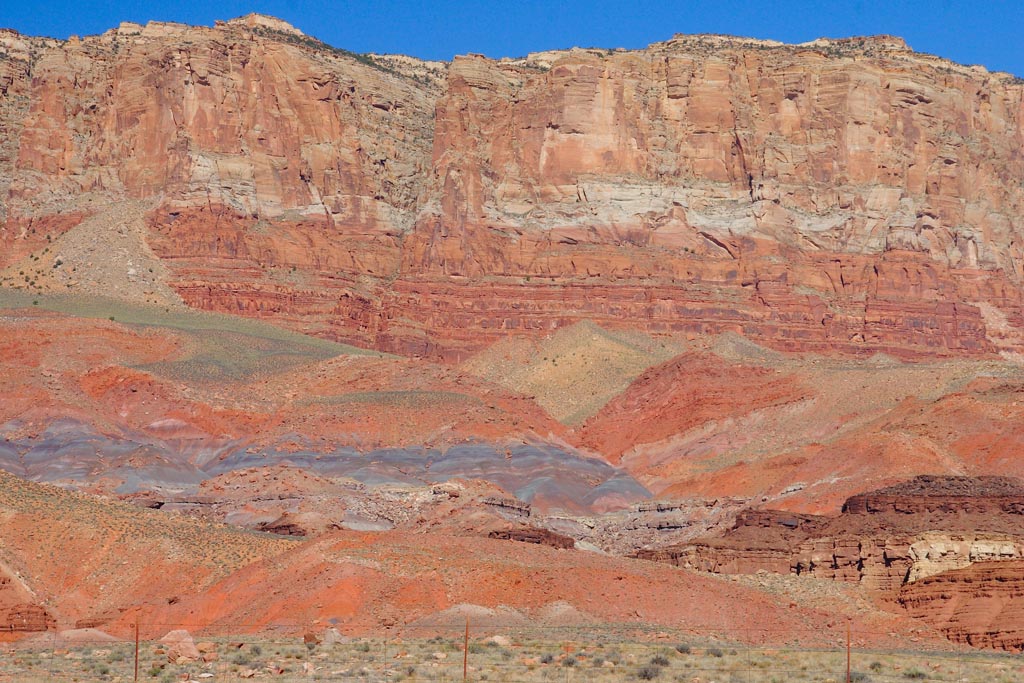
More cliff close ups with the 400mm.
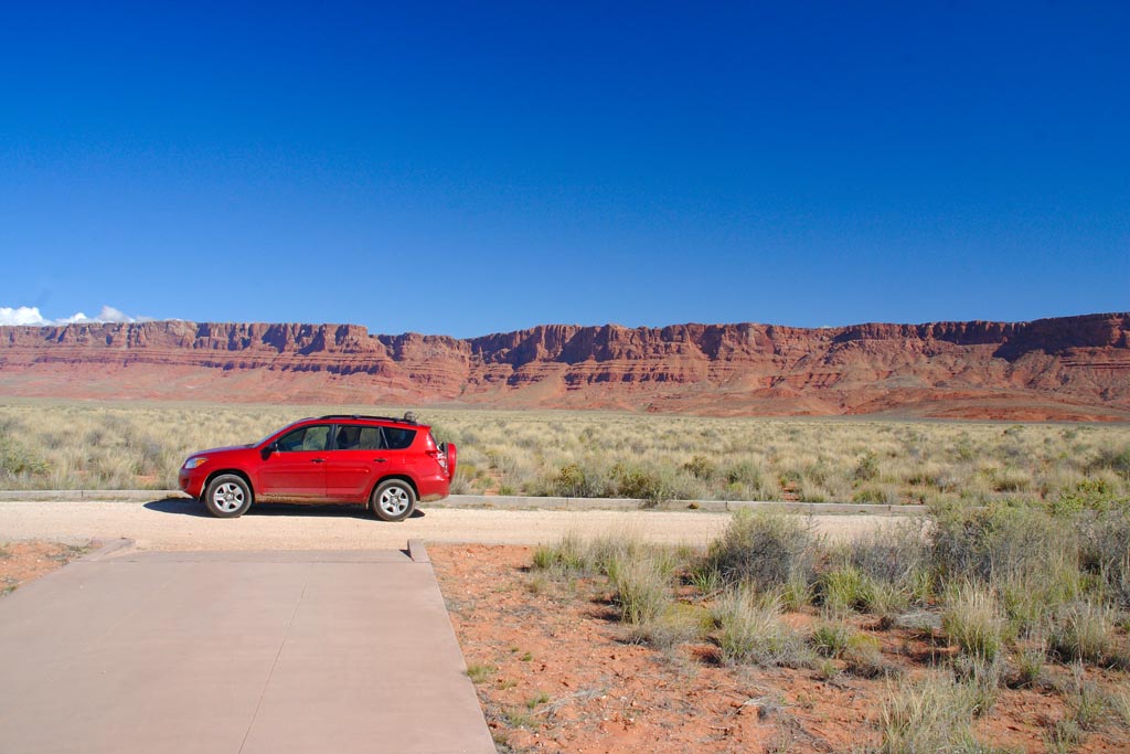
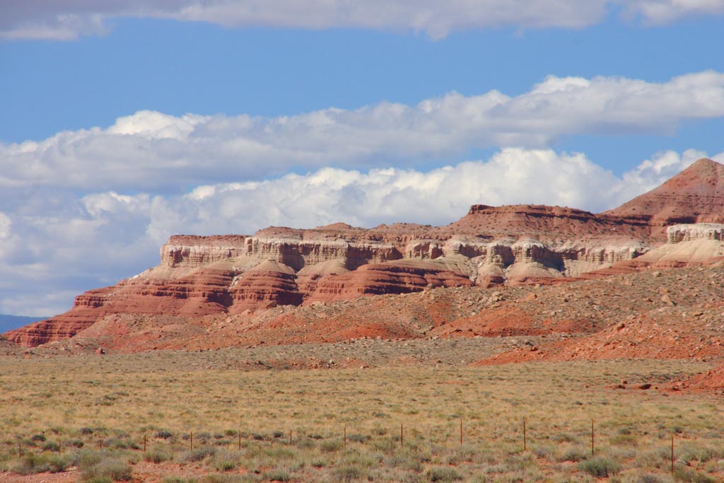
Parked at a look out for the vista.
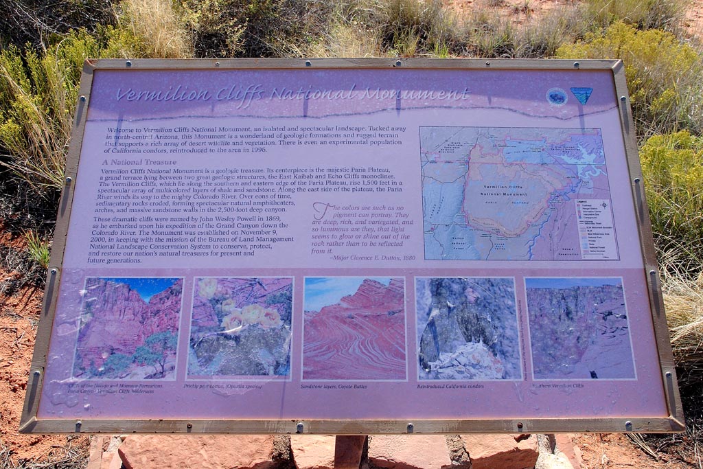
A interpretive sign for the cliffs.
One last look before heading to Marble Canyon.
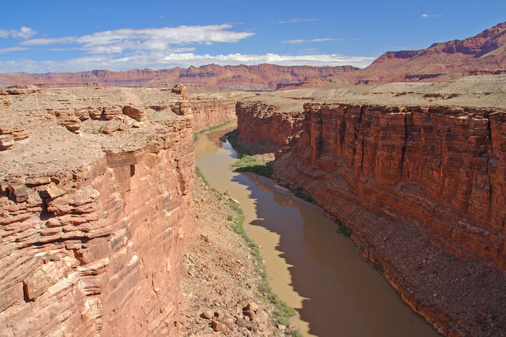
Marble canyon, where you cross the most narrow part of the colorado river to get to the south side.
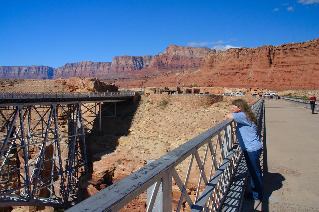
Dawn overlooks the canyon on the old bridge.
|
Camera:  Canon 10D 6.3Mp Sigma 18-200 zoom
Exposure:  AE
Location:  Grand Canyon Area, Az
Elevation:  8000 ft.
Processing: Photoshop CS
HOME